

1 bed flat with no private garden
JargonelleStratford-upon-Avon
CV37 9GH
Cost summary
£443.11
Monthly
Overview
Advert Type:
Rented Property.
Landlord:
Bromford Housing Group.
Closing date:
21/07/2025.
Added:
15/07/2025.
Icon section
Property Detail
Property:
79513.
Jargonelle.
Stratford-upon-Avon.
CV37 9GH.
Flat with no private garden.
1st floor.
Gas radiator.
No garden.
Off street parking..
Bathroom with W/C.
Below is a map showing this property's location.
Skip past the map
This property cannot be displayed on a map
Costs
Rent: £427.08.
Service Charge: £16.03.
Total Cost:
£443.11.
Payment Cycle: Monthly.
Eligibility Requirements
Over 0s only.
Priority
Priority will be given to the highest band
Priority to persons registered longest within band
.
Further Information
1 bed 1st floor flat, for singles/couples. PREFERENCE TO CONNECTION TO STRATFORD. New build 1 bedroom first floor flat Bishopton Lane. The property comprises of open plan kitchen and lounge, bathroom with shower over bath and one double bedroom, communal garden.Allocated parking. The scheme is less than 5 minutes drive from A46, frequent local buses from The Ridgeway into Stratford town centre. Stratford upon Avon Parkway railway station is a short walk away. There is a post office and convenience store approx. ½ mile away, Morrisons, Tesco and retail park are all within easy reach. Bishopton, Shottery St Andrews’s C of E and Holy Trinity C Of E Primary Schools, Stratford Girls Grammar and Stratford upon Avon Secondary Schools are the nearest schools to the scheme. Rent charge and handover date are subject to change. Local connection in the first instance to the Parish of Stratford upon Avon, secondly to the adjoining Parishes of Atherstone-on-Stour, Bearley, Bilesley, Binton, Charlecote, Clifford Chambers and Milcote, Fulbrook, Hampton Lucy, Luddington, Snitterfield, Wilmcote. Thirdly to any other Parish in Stratford uon Avon District. In the fourth instance to anyone in the Fourth Tier Area. In the fifth and final instance to anyone in the Fifth Tier Area..
Images
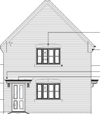
front
Image 1 of 1
Local area
No local area details could be found for this location.Map
Below is a map showing this property's location. You can find more information about this property in the 'Overview' tab. Skip past the map
This property cannot be displayed on a map
Map references should be used as a guide only and do not indicate the precise location of the property
Contains Ordnance Survey data © Crown copyright and database right 2015.